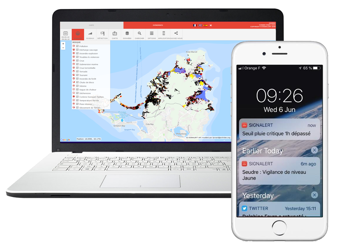
WARN, BE WARNED AND TOGETHER STAY SAFE FROM RISKS
Natural, climate and man-made threats can strike anywhere, close to home or when you are on the move.
We have developed the participatory mapping smartphone app SIGNALERT. It allows you to report threats and share your perceptions and accounts wherever you are, regarding any phenomenon jeopardizing property, people, the environment (air, soil water), infrastructure, or biodiversity.
The principle is simple: qualify the intensity and gravity of the phenomenon by recognizing universal environmental markers that can be understood by everyone, everywhere, and share them with the smartphone app.
Our web tools allow you to make use of these shared alerts and notifications and communicate with witnesses.
The Signalert mobile app
Une application mobile D ALERTE PRECOCE ET de cartographie participative pour déclarer des sinistres et être alertés AVANT ET PENDANT UNE CATASTROPHE NATURELLE OU D ORIGIE HUMAINE
Your testimonials and your photos, geolocated and dated
Submit geolocated and dated testimonials, describe the gravity of the phenomenon, and share an alert Signalert. You paste you social media posts and links in an alert or you send an alert to your social medias accounts.
“I'm safe” button
Send your location and message to your emergency contacts in two clicks (premium version)
Monitor your places of interest
Define your important places and get notified as soon as a warning is issued nearby (premium version)
Your position in relation to dangerous phenomena
Find out your position in relation to a danger that you have spotted or experienced, or that people are talking about
Sharing and mutual assistance between users
Users of the app on the field can broadcast between eachothers, or receive needs for assistance through the app and web service.
Protecting your anonymity
Your alerts are anonymous by default, but you can choose to reveal your identity.
Advice on what to do
What should you do before, during and after a serious phenomenon? Get tips to avoid pitfalls and stay safe
Useful links
Find information on the phenomena that you have experienced from official monitoring bodies.
Download the free app
Signalert app fonctionne dans le monde entier. Elle est disponible en français, anglais, espagnol et arabe.
Respectueuse des règlements sur la protection de vos données personnelles CNIL et RGPD, l’app est gratuite, vos alertes restent anonymes. Vous ne recevez aucune publicité, et aucun cookie ne vous suit.
SERVICES CLIMATIQUES PERSONNELS DE L APP
Découvrez les services climatiques personnels de l'application mobile Signalert avec encore plus de fonctionnalités personnalisées pour votre sécurité et surveiller vos lieux d’intérêt, vos biens.
Our Professional Services
Web services (APIs, widgets, etc.) for businesses, NGOs, and local authorities in charge of territorial monitoring.
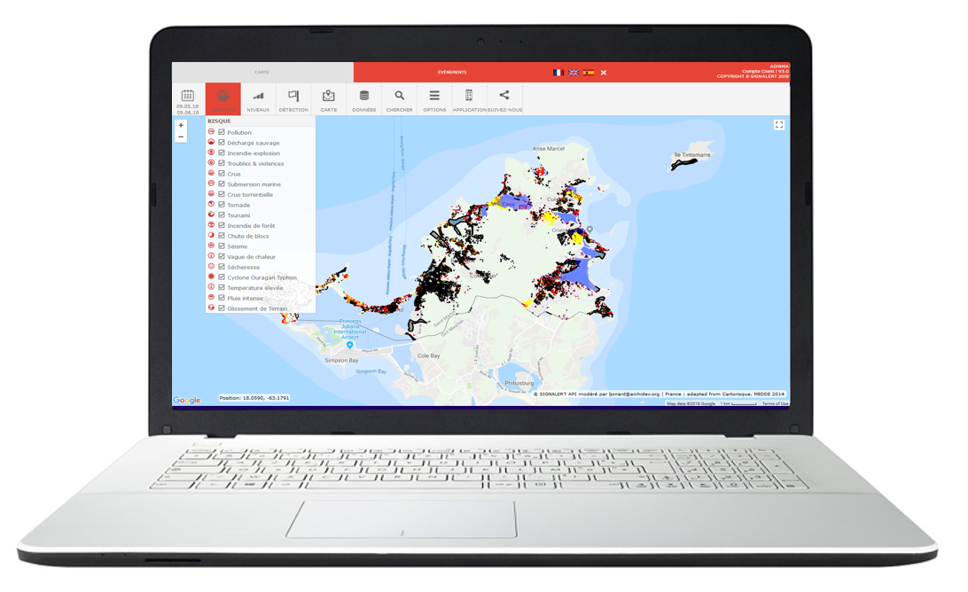
Signalert consult
Webmapping service for visualization, analysis, automatic detection, importing and exporting.
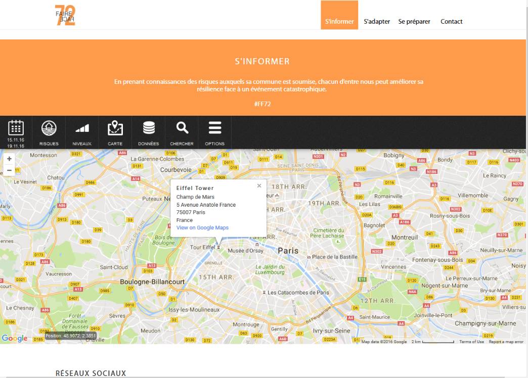
The Signalert API
Integrate Signalert CONSULT notifications or map analysis services in your own web interfaces.
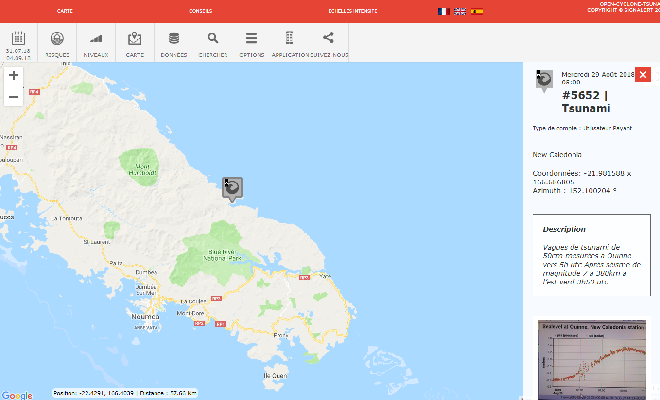
Signalert OPEN
Share and issue warnings open to all using a simple web link.
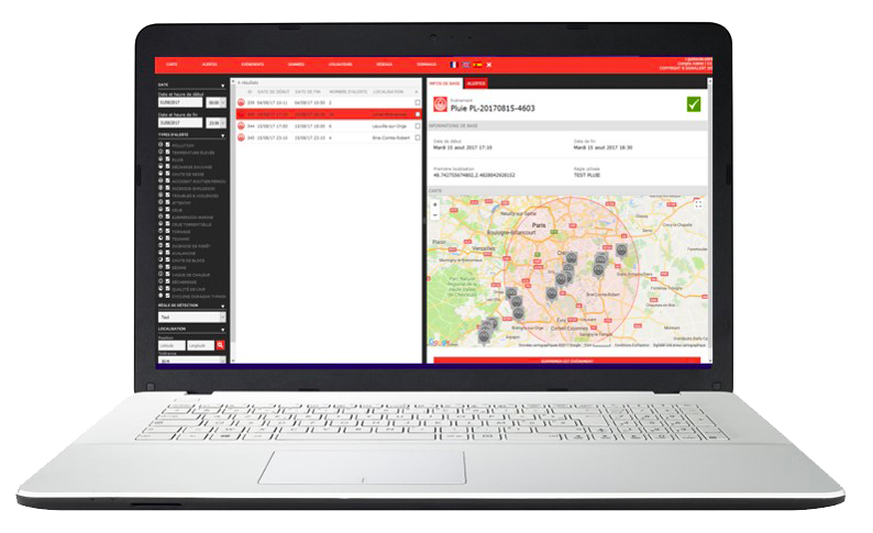
Climate services
Use data from connected devices and weather monitoring networks around the world for real-time detection of and warning about extreme events (rain/temperature).
Find out more/Request a demo
Contact us for a demo of our professional services or to receive more detailed information on how to integrate our API, weather services, or an OPEN mapping interface into your web or app environments.
EXPERTISE, SERVICES, RESEARCH AND INNOVATION
Benefit from our consultants’ expertise on reducing MAN-MADE OR NATURAL RISKS AND the impacts of CLIMATE CHANGE
Our interventions draw on extensive international experience in management and prevention, risk and natural disaster reduction, resource management, climate change adaptation and crisis management. The SIGNALERT team of international experts and consultants offer research expertise and skills in the following areas:
- Natural and technological risks
- Human and economic vulnerability assessment and reduction
- Damage assessment
- Evaluating the implementation and effectiveness of prevention policies
- Crisis management
- Feedback analysis
- Early warning and participatory and crowdmapping
- Climate change impact and adaptation, development of national or local adaptation strategies
- National adaptation plans
- Geomorphology, Geology, Geophysics, tectonics, neotectonics, hydrology, hydrogeology, hydraulics
- Digital modelling of phenomena (floods, tsunamis, earthquakes) and damage
- Earth observation, image processing, aerial and spatial photo interpretation
- Forest mapping and inventory
- Detection of illegal activity through earth observation
- Water resource prospecting and protection
- All-level training on topics related to the reduction of natural risks and the impacts of climate change
- Hazard or vulnerability reduction engineering
We innovate and use the smartphone app, our web services and our API to serve new environmental causes or concerns linked to natural risks and climate change, in partnership with research organizations, laboratories, businesses and NGOs.

